

Open Skies Treaty training flight over Spain
-
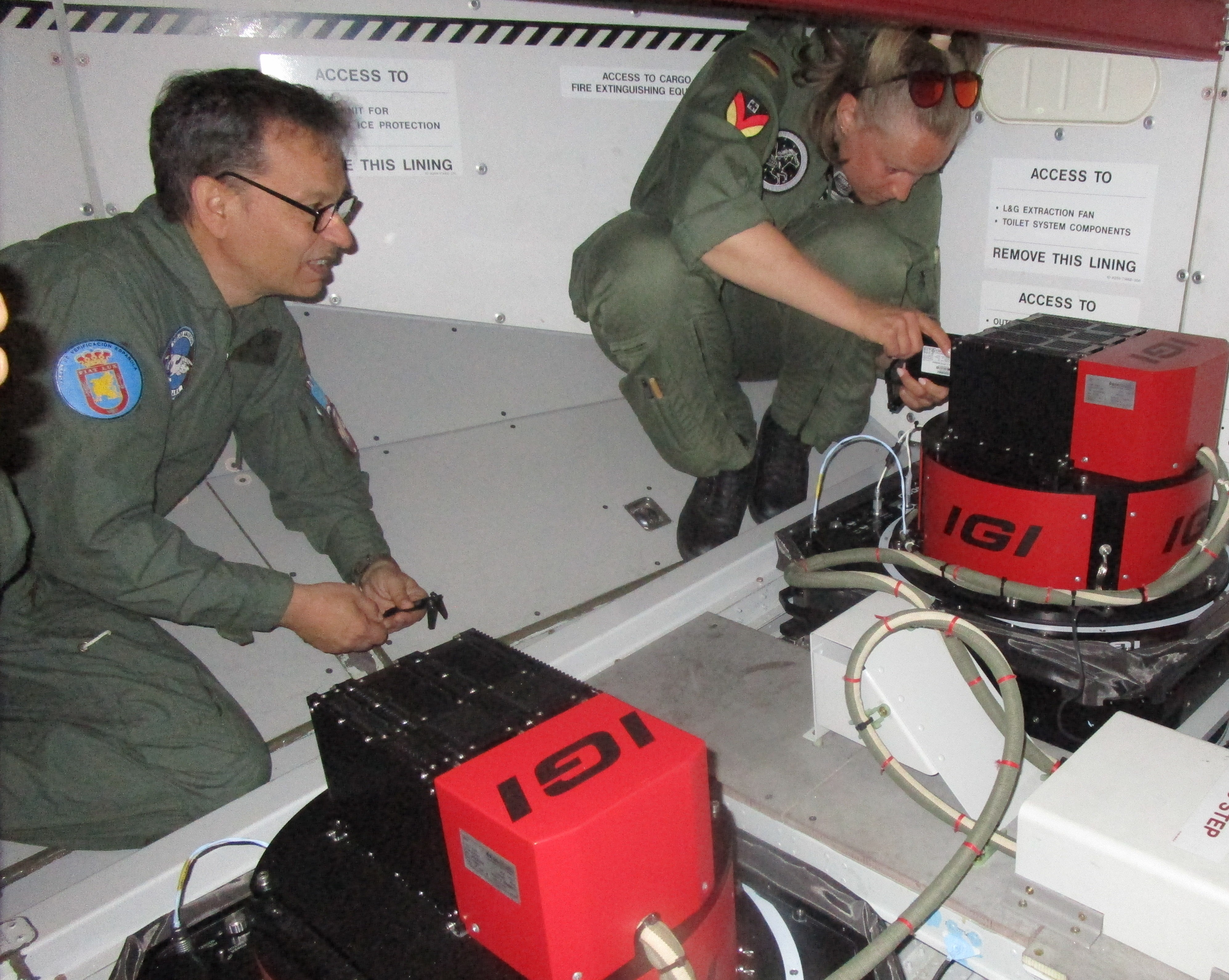
A team from the Spanish Verification Unit oversaw this activity
All operations relating to this flight were carried out from Getafe Air Base, the sole point of entry for the Open Skies Treaty designated by Spain. Prior to the flight, both the aircraft and the observation sensors were inspected by representatives of the Spanish Verification Unit, accompanied by representatives from CINTAER (Centre for Aerospace Intelligence and Targeting) and CLAEX (Logistics Centre for Armament and Experimentation). A team from the UVE monitored the flight on board the aircraft, as stipulated by the Treaty.
The images obtained were processed at facilities at Getafe Air Base using a ground processing unit provided by the Federal Republic of Germany. The distance flown by the German aircraft was 1,800 kilometres, covered in a single leg. As this was a training flight, areas of no strategic interest were overflown and photographed.
The Open Skies Treaty forms part of the commitments undertaken by the States Parties to the Organisation for Security and Co-operation in Europe (OSCE) to promote greater openness and transparency in their military activities, and to contribute to the development and strengthening of peace, stability and security through the creation of an Open Skies regime for aerial observation. This Treaty allows its States Parties to observe any part of the territory of another State Party by taking aerial photographs with a maximum resolution of 30 centimetres.
Fotos